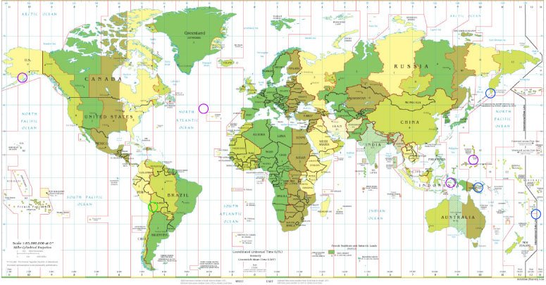

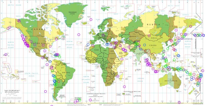
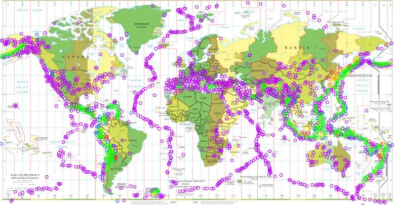
My maps show progression over time of earthquakes that measure on the Richter Scale. The outline of the tectonic plates becomes very easily visible after one year of recordings. I am mapping the fault lines and the movement of the plates and how this is visible and seismically recorded by earthquakes in particular [other natural disasters also occur along the edges of the fault lines, mapping out the tectonic plates as well].

No comments:
Post a Comment